

Mt. Rainier Weather Info
Live Webcams:

-
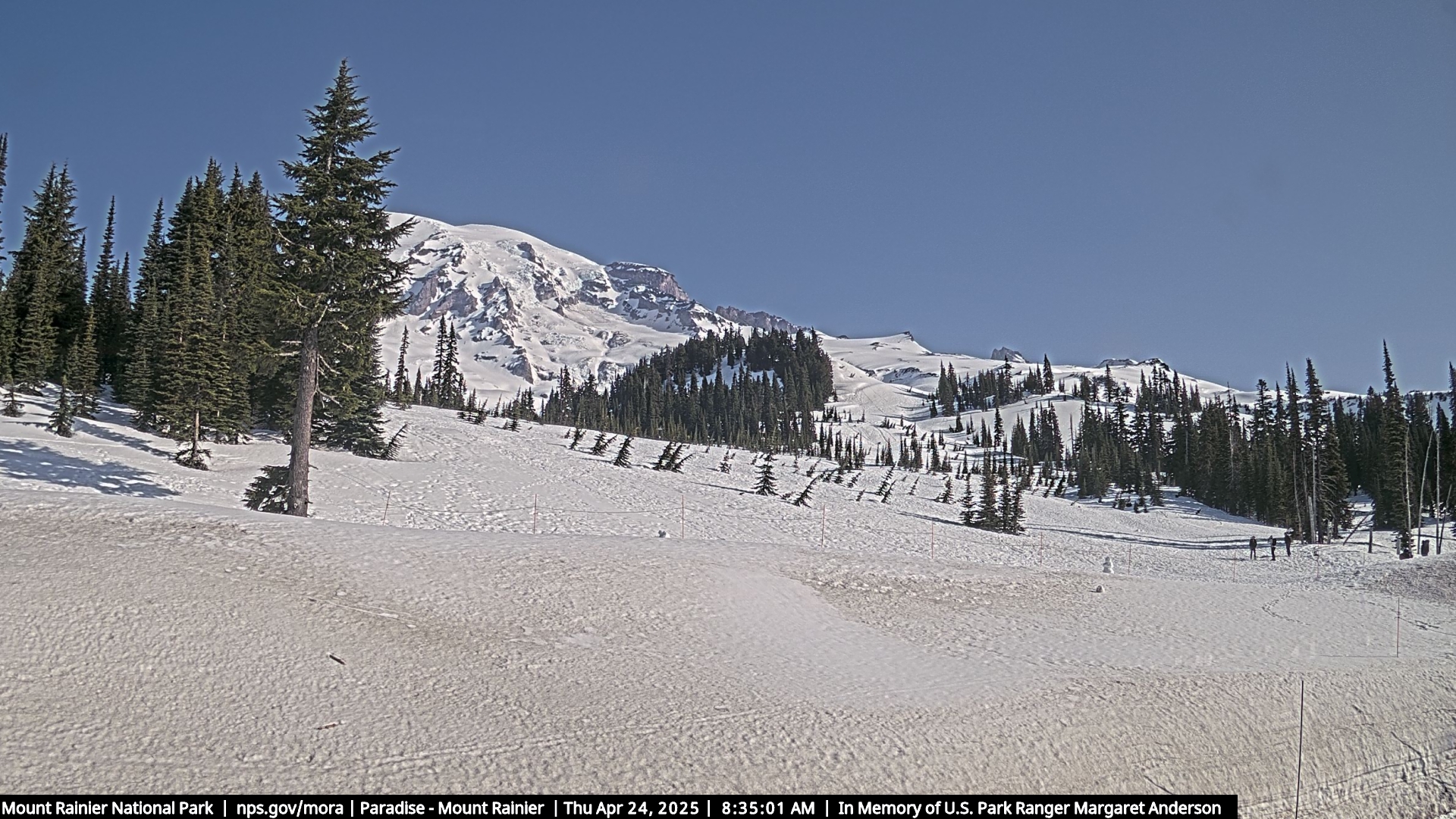
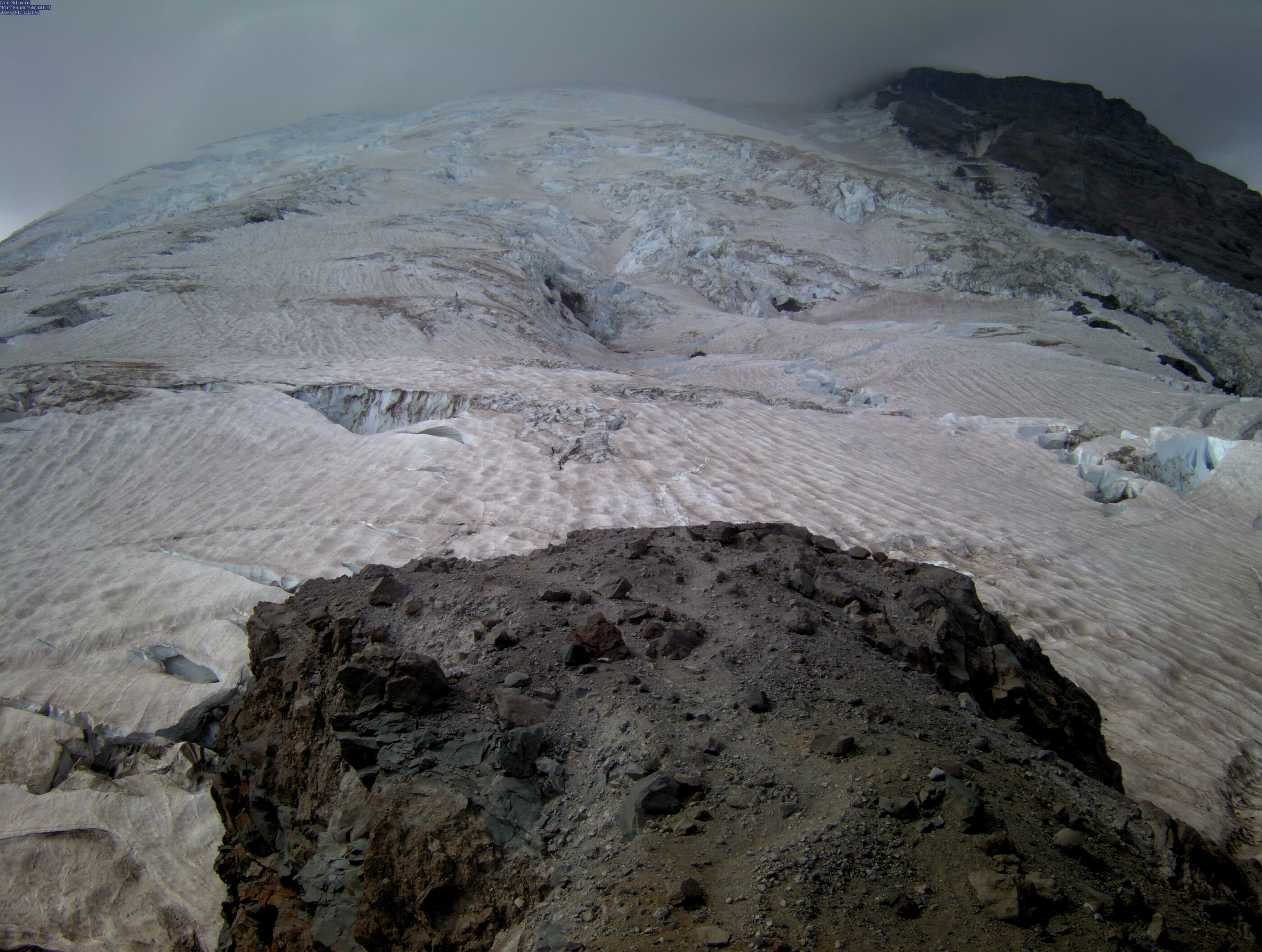
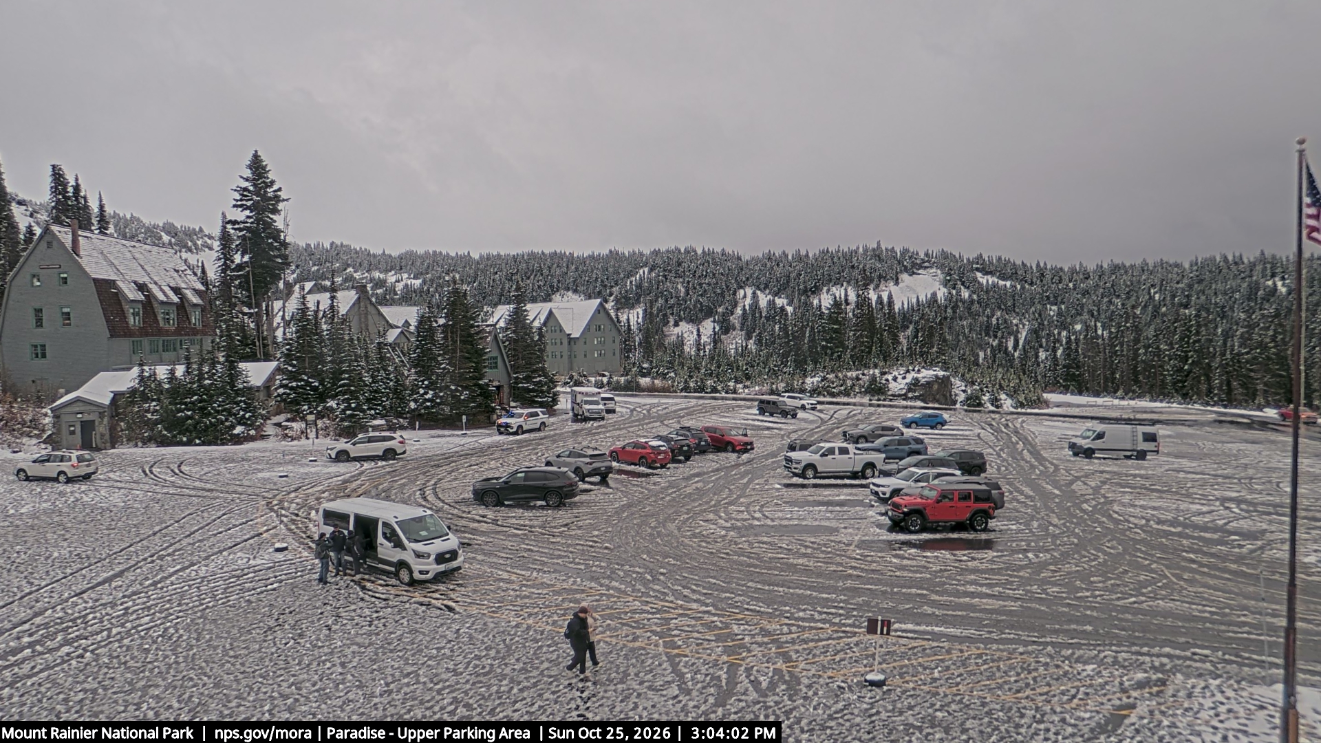
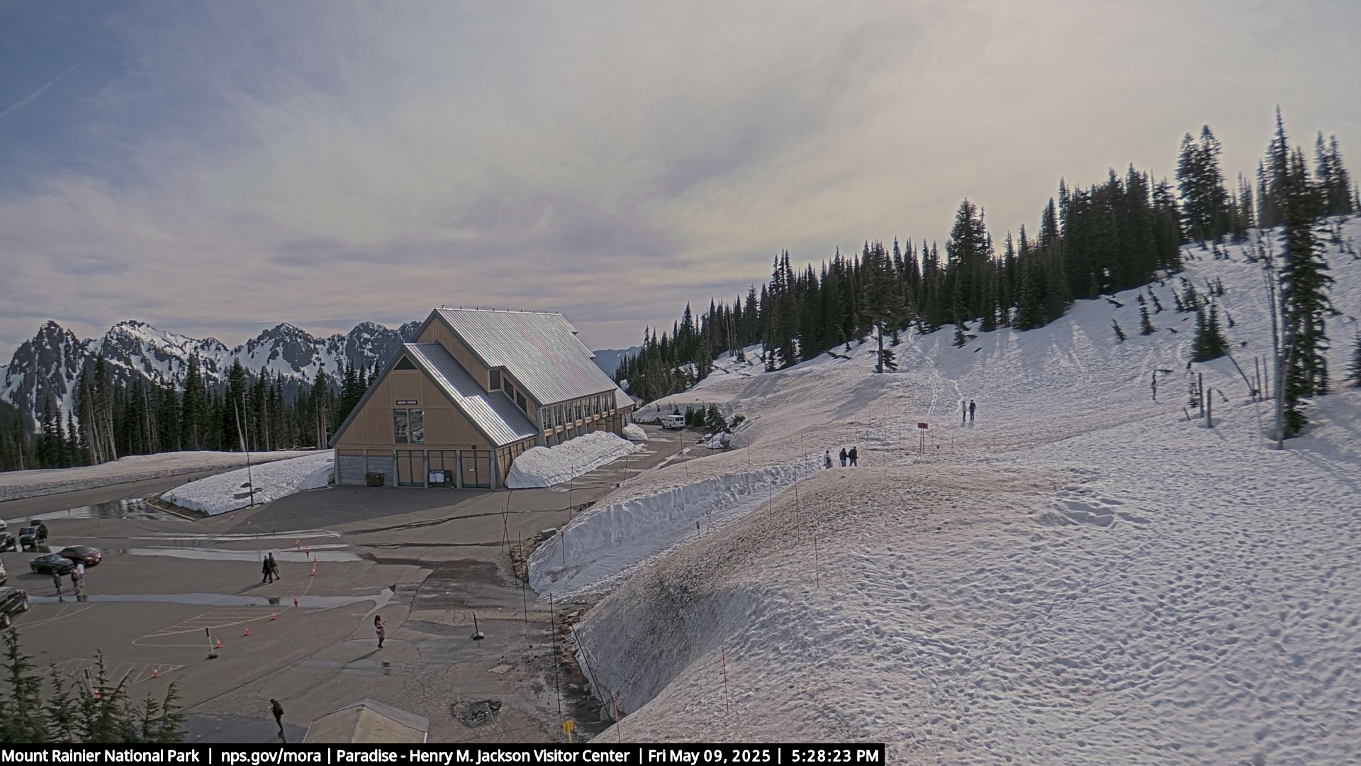
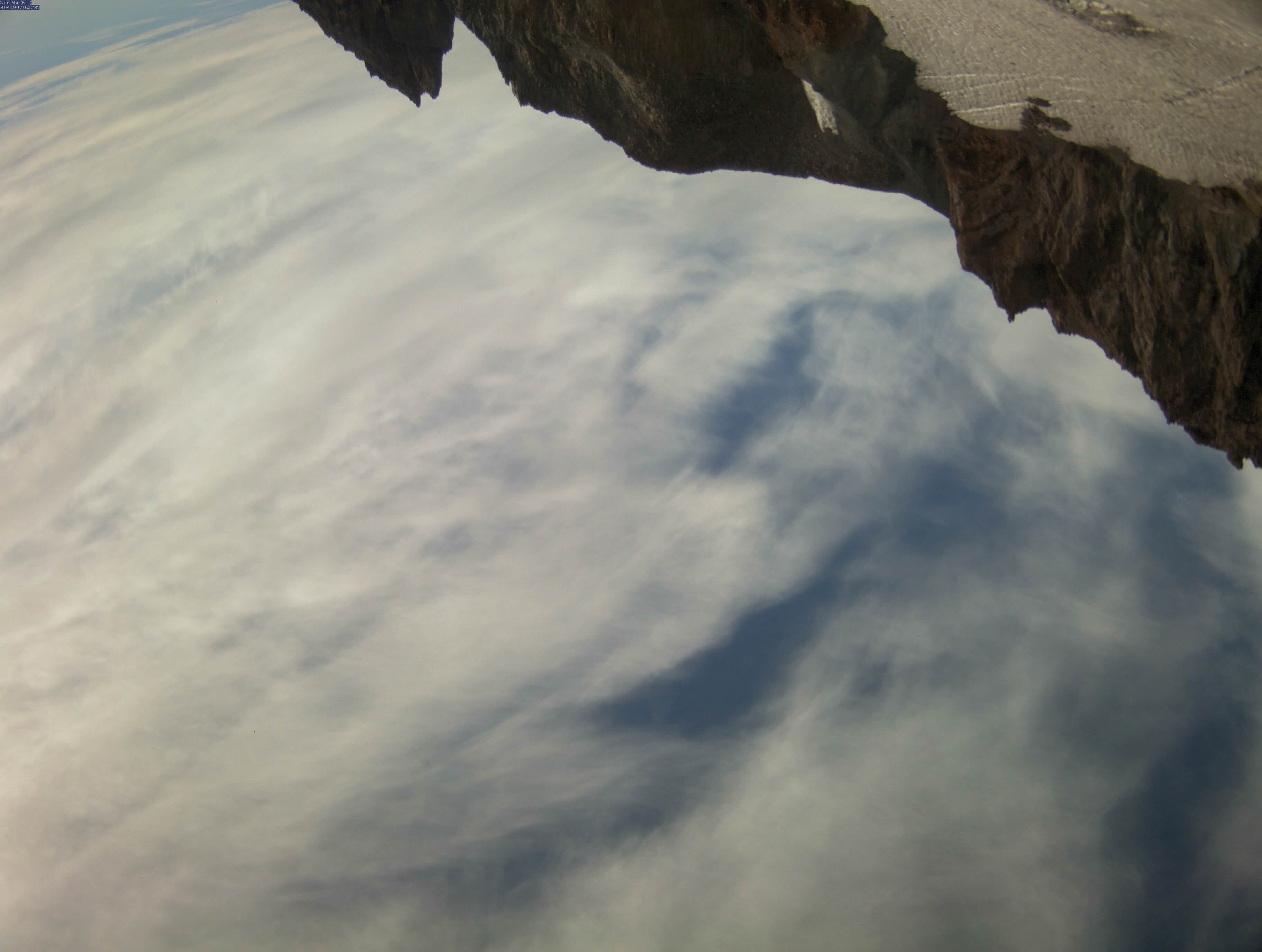
Mt. Rainier Cam
Weather and Telemetry InfoPrint this PageParadise Telemetry
Time
(PST)Temp
F
5400'RH
%
5400'Min
mph
5380'Spd
mph
5380'Gust
mph
5380'Dir
deg
5380'Pcp1
in
5400'24Sno
in
5400'SnoHt
in
5400'SR
W/m**2
5380'11/9 21:00 52 42 4 10 19 N/A 0 0 8 - 11/9 20:00 53 39 3 8 18 N/A 0 0 8 - 11/9 19:00 52 45 4 7 12 N/A 0 0 8 - 11/9 18:00 51 51 2 6 13 N/A 0 0 8 - 11/9 17:00 52 54 4 6 11 N/A 0 0 8 - 11/9 16:00 55 45 3 8 14 N/A 0 0 8 - 11/9 15:00 57 44 4 9 16 N/A 0 0 9 - 11/9 14:00 58 44 4 8 14 N/A 0 0 9 - 11/9 13:00 57 49 3 6 11 N/A 0 0 9 - 11/9 12:00 58 46 2 6 11 N/A 0 0 9 - 11/9 11:00 58 45 0 3 8 N/A 0 0 9 - 11/9 10:00 57 45 0 1 4 N/A 0 0 9 - 11/9 09:00 56 44 0 1 3 N/A 0 0 9 - 11/9 08:00 54 46 0 2 5 N/A 0 0 9 - 11/9 07:00 53 44 0 2 5 N/A 0 0 9 - 11/9 06:00 53 44 0 1 3 N/A 0 0 10 - 11/9 05:00 53 40 0 0 1 N/A 0 0 10 - 11/9 04:00 52 45 0 1 3 N/A 0 0 10 - 11/9 03:00 51 50 0 1 4 N/A 0 0 10 - 11/9 02:00 51 49 0 2 6 N/A 0 0 10 - 11/9 01:00 51 54 0 2 6 N/A 0 0 10 - 11/9 00:00 51 51 1 3 6 N/A 0 0 9 - 11/8 23:00 42 78 3 4 6 N/A 0 0 9 - 11/8 22:00 40 77 3 5 7 N/A 0 0 9 - Print this PageCamp Muir Telemetry
Time
(PST)Temp
F
10110'RH
%
10110'Min
mph
10110'Spd
mph
10110'Gust
mph
10110'Dir
deg
10110'SR
W/m**2
10110'11/9 21:00 37 53 27 47 66 N/A 3 11/9 20:00 36 56 32 48 66 N/A 3 11/9 19:00 37 48 28 48 64 N/A 3 11/9 18:00 37 30 30 48 65 N/A 3 11/9 17:00 37 33 37 51 71 N/A 19 11/9 16:00 38 33 30 48 63 N/A 103 11/9 15:00 39 39 26 41 58 N/A 224 11/9 14:00 38 38 30 44 64 N/A 319 11/9 13:00 37 69 28 42 59 N/A 344 11/9 12:00 38 69 31 43 64 N/A 285 11/9 11:00 38 66 31 43 56 N/A 301 11/9 10:00 39 65 28 39 59 N/A 168 11/9 09:00 38 65 28 37 48 N/A 136 11/9 08:00 38 66 28 38 51 N/A 26 11/9 07:00 37 71 24 36 49 N/A 3 11/9 06:00 37 73 28 38 52 N/A 3 11/9 05:00 37 70 26 37 50 N/A 3 11/9 04:00 36 65 24 37 52 N/A 3 11/9 03:00 33 92 25 38 52 N/A 3 11/9 02:00 32 95 24 36 50 N/A 3 11/9 01:00 32 95 23 36 49 N/A 3 11/9 00:00 31 93 25 36 52 N/A 3 11/8 23:00 31 95 21 33 47 N/A 3 11/8 22:00 32 98 18 32 47 N/A 3